Punta de Jandía is the most southwestern place in Fuerteventura. It is reached by a track that begins a little above the esplanade of the new port of Morro Jable. This track, which is paved in a small section up to the cemetery, later forks, crossing the watershed on the right towards Cofete and following the left to Punta de Jandía, to where from Morro Jable it takes approximately one hour. The entire southwestern end of Jandía forms part of the Natural Park of the same name.

There are many ways to get to know nature in this westernmost coastal area of Fuerteventura. Doing the complete proposed route can be somewhat tiring, because it is an area without shade and often beaten by the wind, but it also gives us the most complete view of the area.

unevenness
18 m.

Duration
4 hours

Distance
12,4 km.

Difficulty
Hard
Trail Details

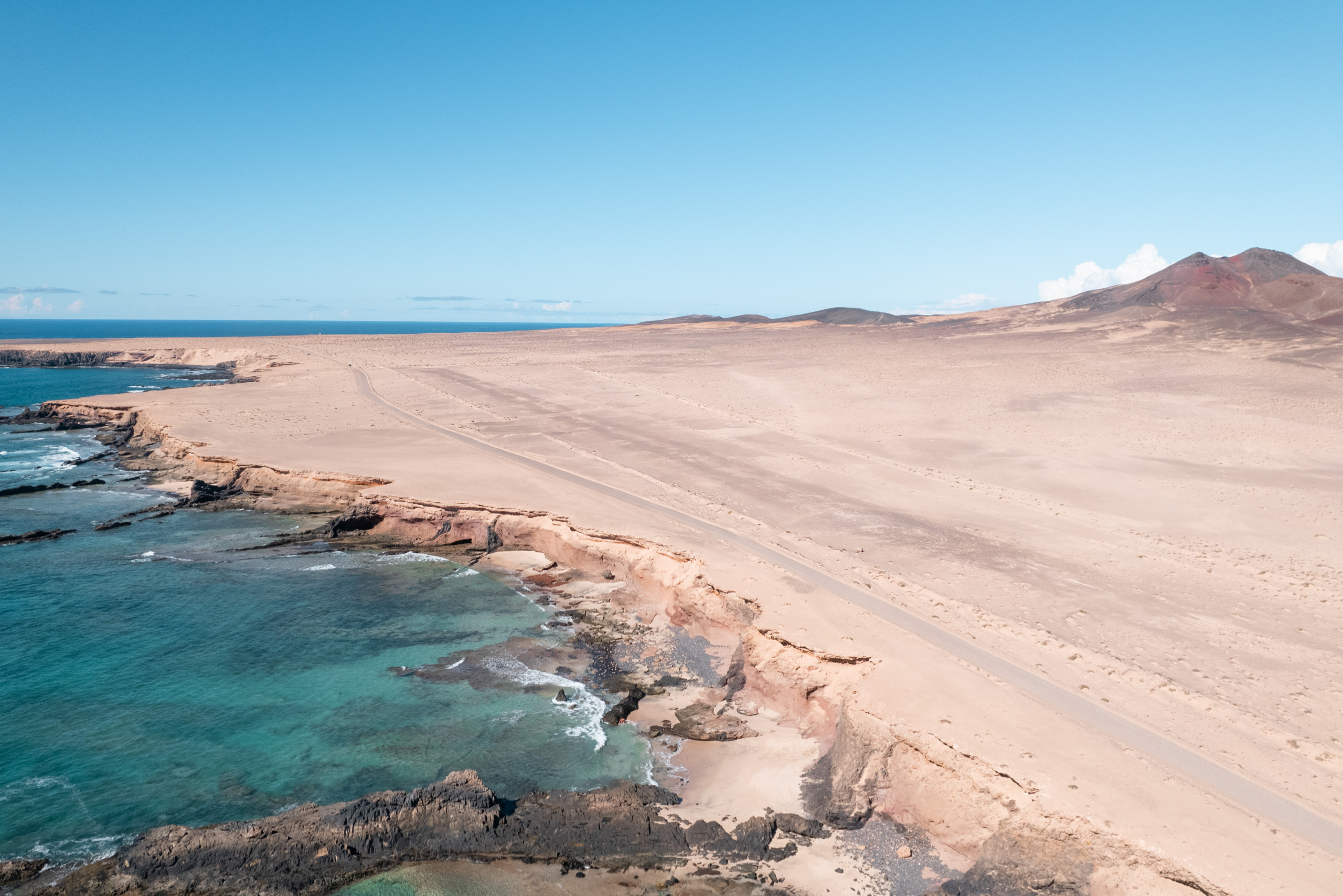
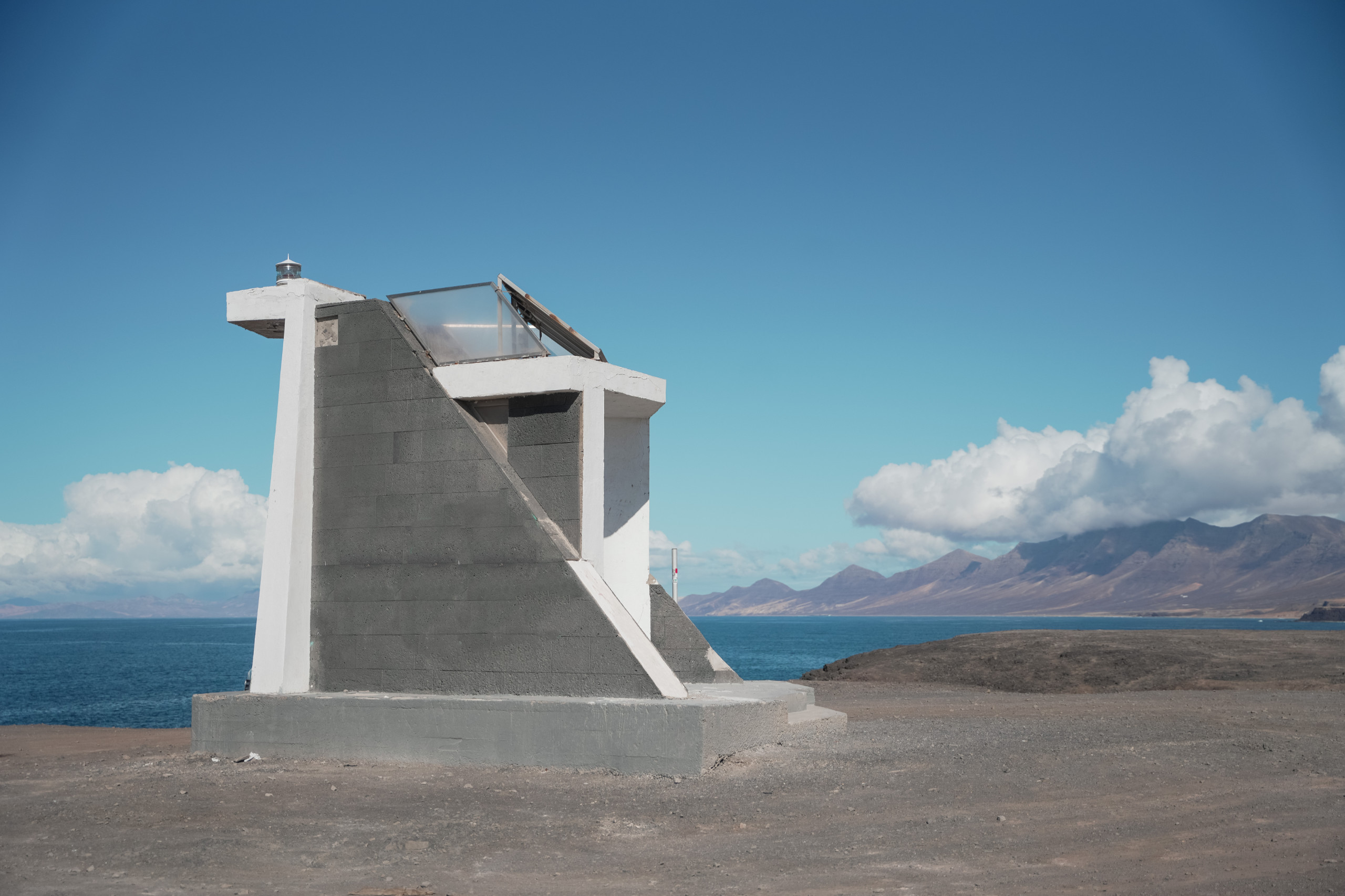
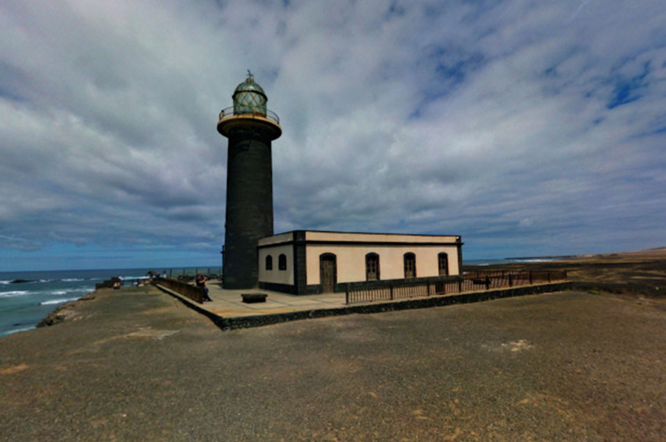
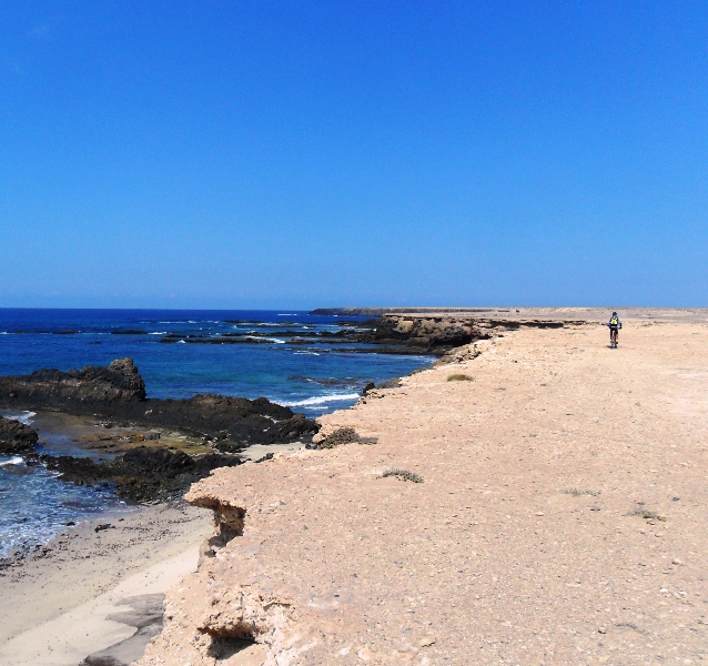
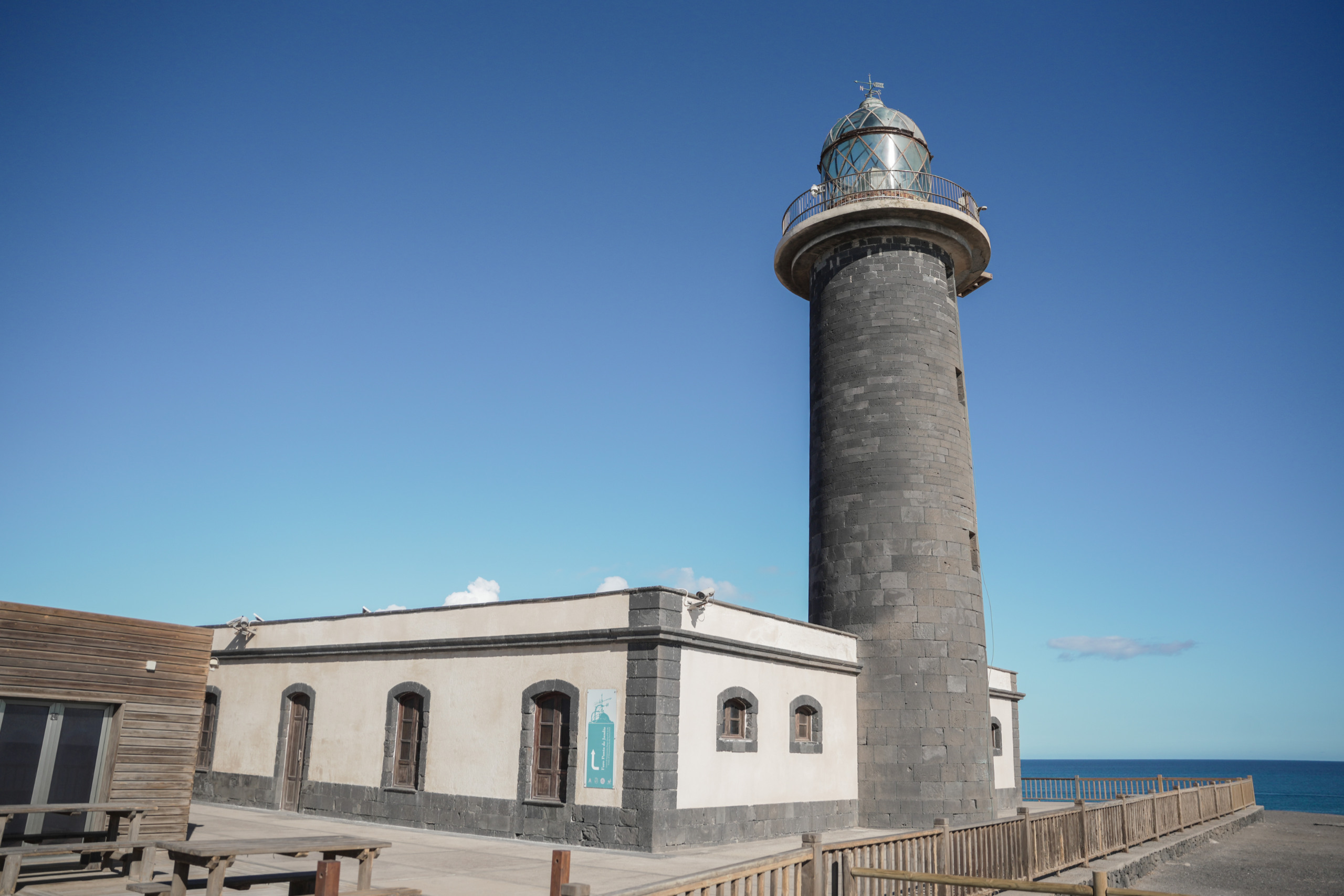
We start at the lighthouse of Jandía or Puertito de la Cruz, and head north, always bordering the coastline. From the cliff there is a magnificent panoramic view of the rugged coastline, and in some places small trails lead down to the interspersed beaches.

We remind you that these narrow and steep paths do not have railings or other safety elements, and that bathing on the beaches must also be done with great caution.

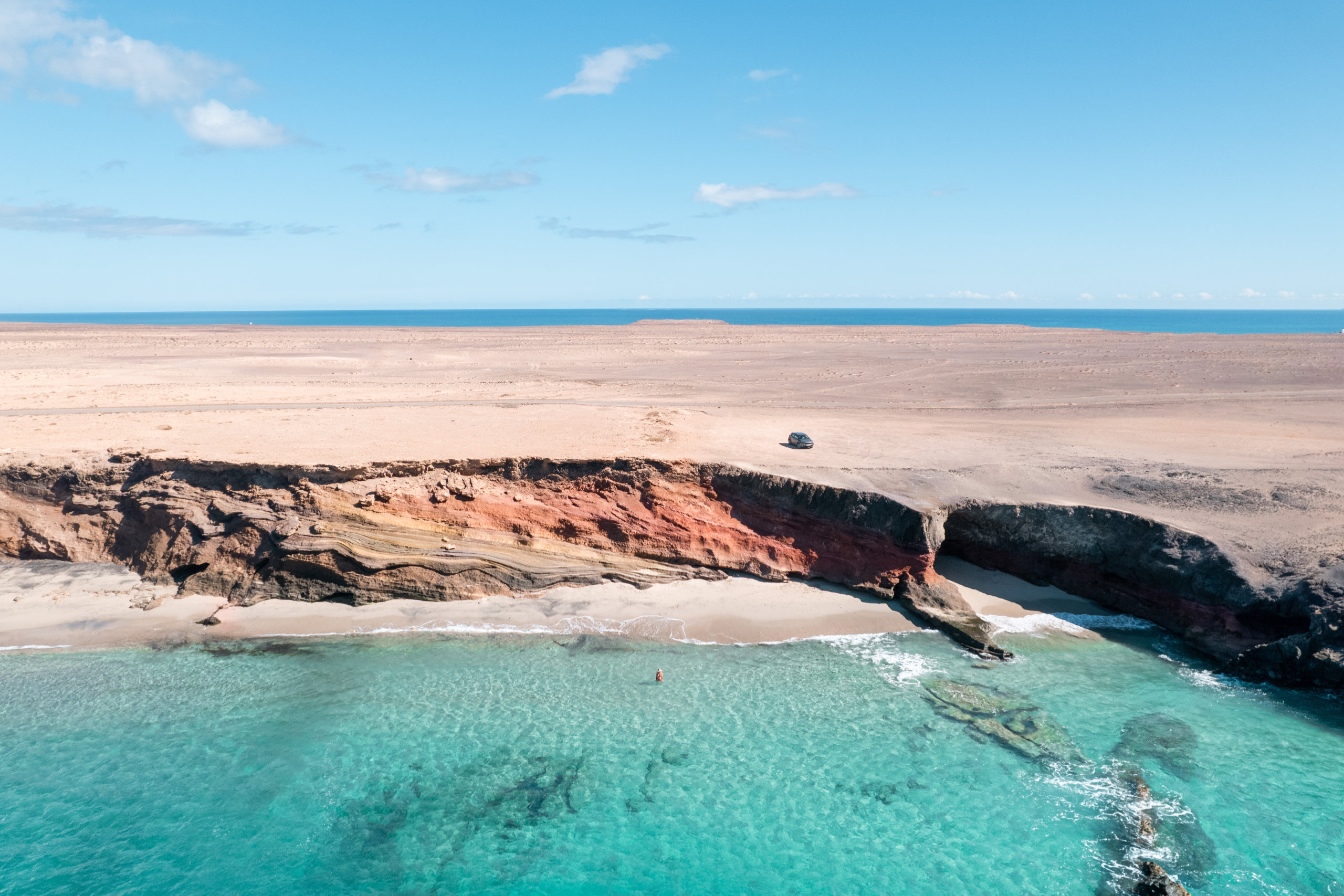
Inland extends a wide sandy plain with low vegetation, which is completely missing in an old landing strip that extends next to the runway, more or less at the height of Punta del Corralito.

Arrived at Punta Pesebre, the view can extend throughout the lonely beach of Cofete. Continuing along the coast, now heading southeast, we will finally arrive at Caleta de la Madera.

It is also feasible to go by bicycle or car and stop at various places to see the scenery or go down to one of the beaches. Further east of Punta del Pesebre, the circulation of vehicles is prohibited, nor is it allowed anywhere to leave the marked tracks.
 

Punta de Jandía es el lugar más suroccidental de Fuerteventura. Se llega allí por una pista que comienza un poco más arriba de la explanada del nuevo puerto de Morro Jable. Esta pista, que está asfaltada en un pequeño tramo hasta el cementerio, se bifurca más tarde, cruzando el tramo derecho la divisoria de aguas hacia Cofete y siguiendo el izquierdo hasta Punta de Jandía, hasta donde desde Morro Jable se tarda aproximadamente una hora. Todo el extremo suroccidental de Jandía forma parte del Parque Natural del mismo nombre.

Hay muchas formas de conocer la naturaleza en esta área costera más occidental de Fuerteventura. Hacer la ruta propuesta completa puede ser algo fatigoso, debido a que es una zona sin sombra y batida a menudo por el viento, pero nos da también la visión más completa de la zona.

Desnivel
18 m.

Duración
4 horas

Distancia
12,4 km.

Dificultad
Difícil

Detalles del Recorrido

Comenzamos en el faro de Jandía o el Puertito de la Cruz, y nos dirigimos hacia el Norte bordeando siempre el litoral. Desde el cantil se tiene una magnífica vista panorámica de la accidentada costa, y en algunos lugares bajan pequeños senderos a las playas que se encuentran intercaladas.

Recordamos que estos senderos estrechos y de fuerte pendiente no tienen barandillas ni otros elementos de seguridad, y que también el baño en las playas debe de hacerse con mucha precaución.

Hacia el interior se extiende una amplia llanura arenosa con vegetación baja, que falta por completo en una antigua pista de aterrizaje que se extiende junto a la pista, más o menos a la altura de Punta del Corralito.

Llegados a Punta Pesebre, la vista puede extenderse por toda la solitaria playa de Cofete. Siguiendo por la costa, ahora en dirección sureste, llegaremos finalmente a Caleta de la Madera.

Es también factible ir con bicicleta o coche y parar en diversos lugares para ver el paisaje o bajar a alguna de las playas. Más al este de Punta del Pesebre la circulación de vehículos está prohibida, como tampoco está permitido en ningún lugar salirse de las pistas marcadas.